
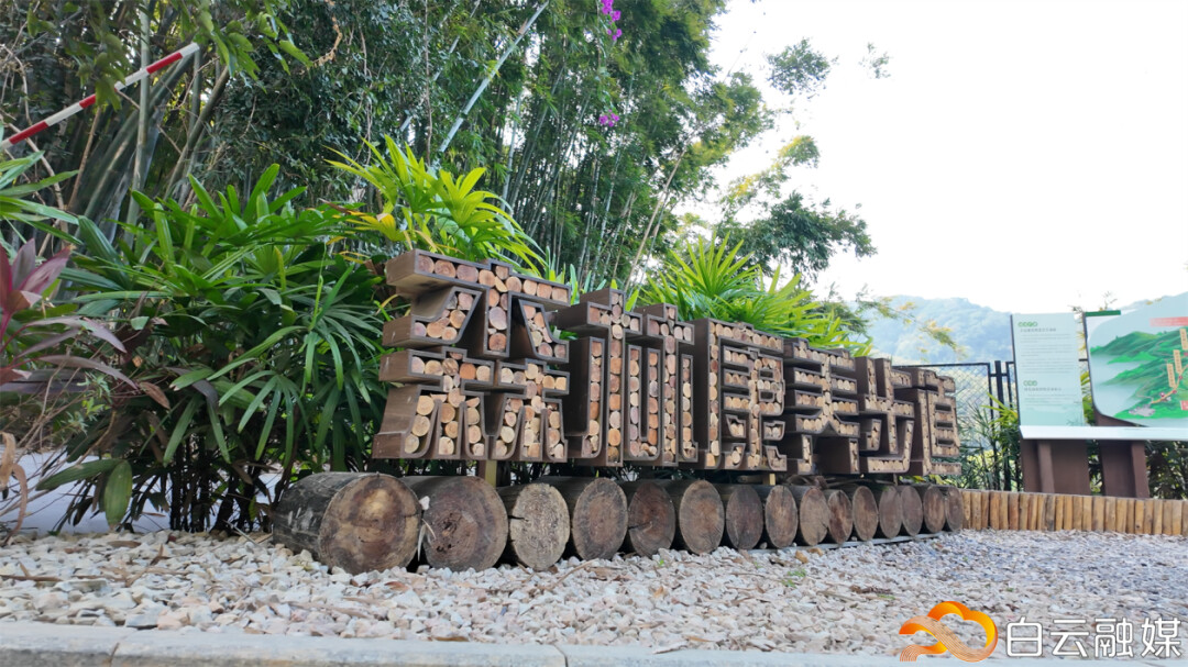
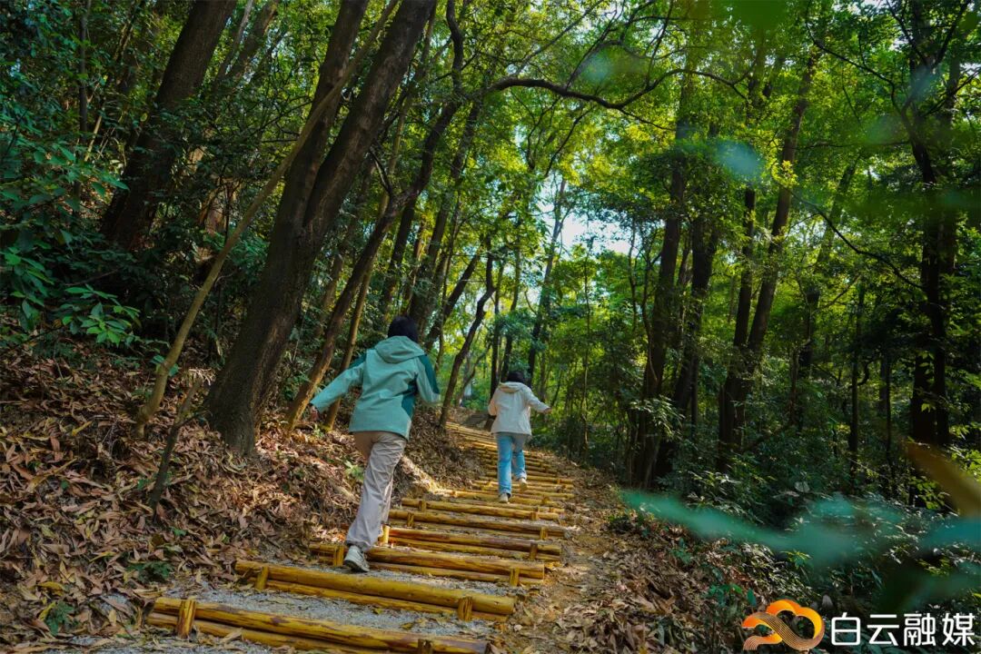
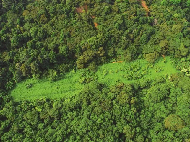
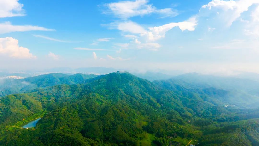
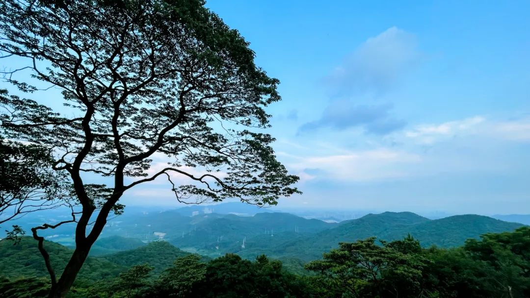
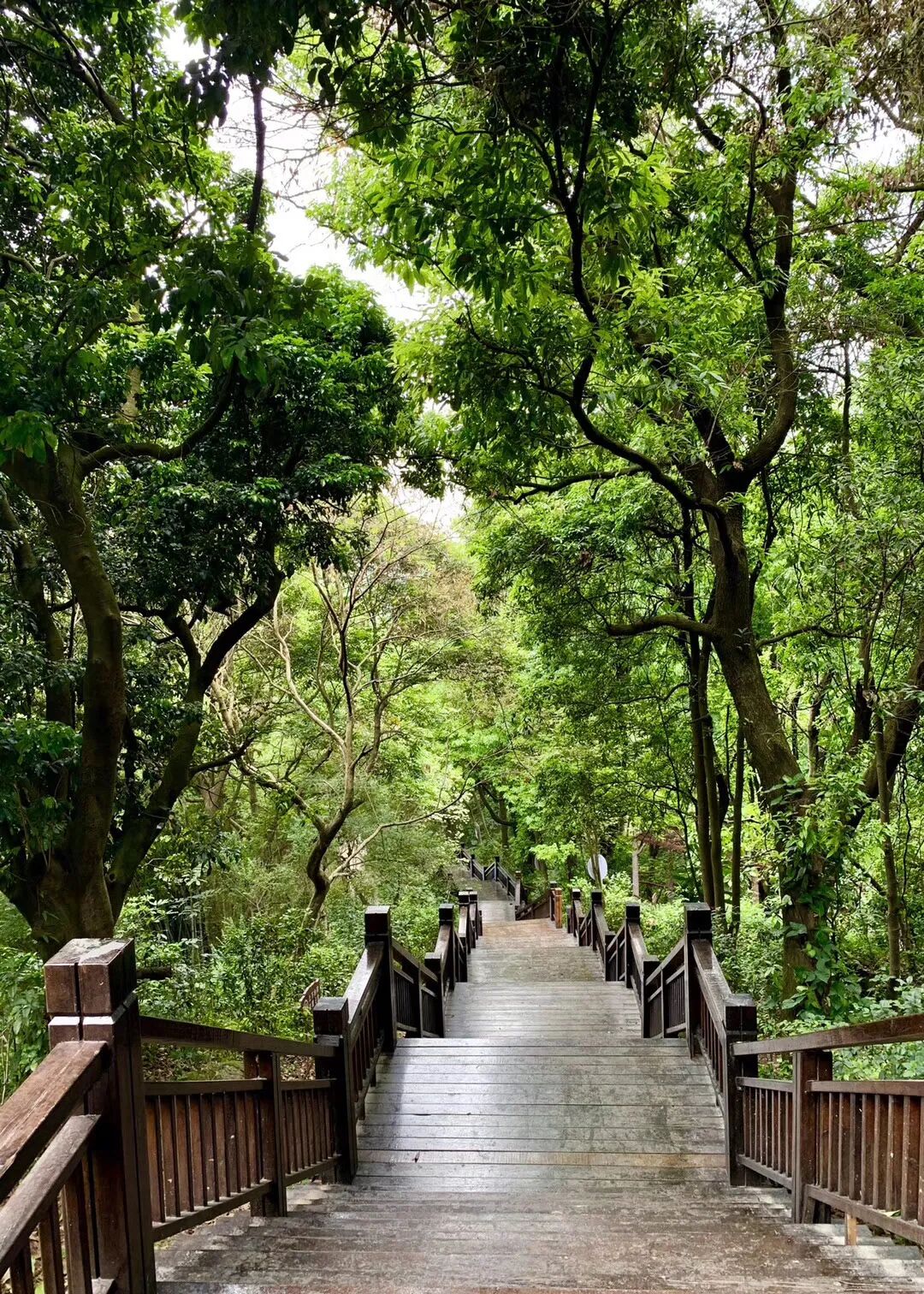
Hike a 40-km forest trail in Guangzhou's Baiyun District
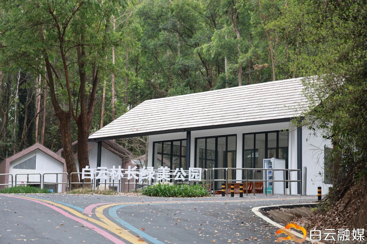
A key milestone has recently been reached in the north–south "Green Spine" project in Guangzhou. Specifically, a 40-kilometer district-level forest trail in Baiyun District passed final inspection in mid-February and was officially opened to the public in April.
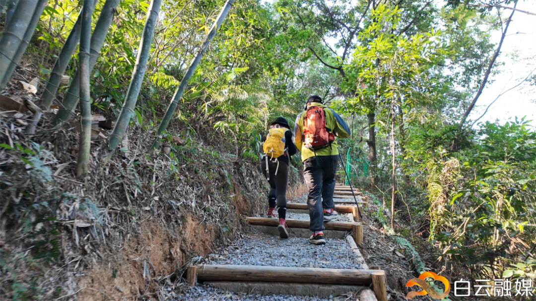
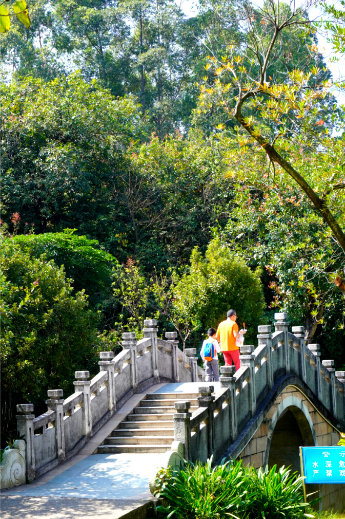
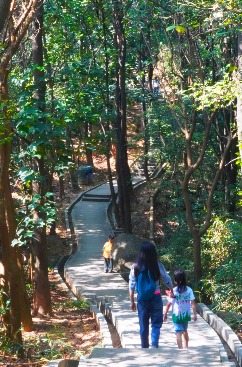
Recommended Routes
Laowu Trailhead – Liupian Mountain Trailhead
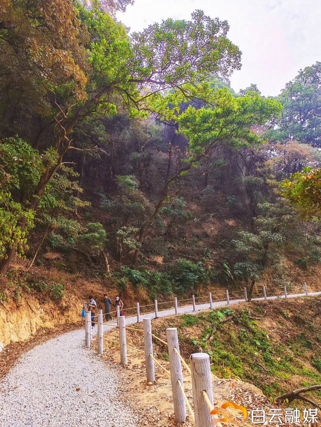
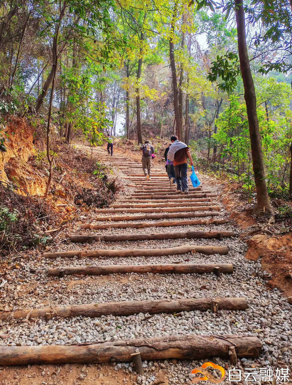
Approximately 7.5 km in length, moderate difficulty. The trail offers views of the most iconic ecological landscapes of Fenghuang Mountain and Liupian Mountain along the way.
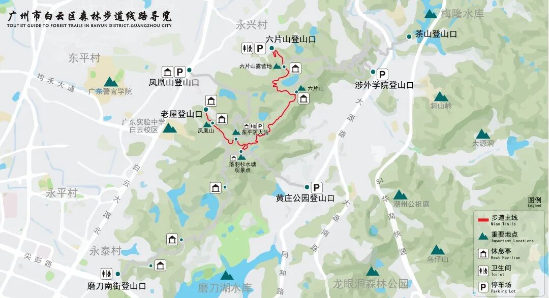
Modao South Street Trailhead – Liupian Mountain Trailhead
About 10 km in length, higher difficulty. The route consists primarily of forest trails and varied terrain. The scenery is relatively more pristine, making it suitable for experienced hikers.
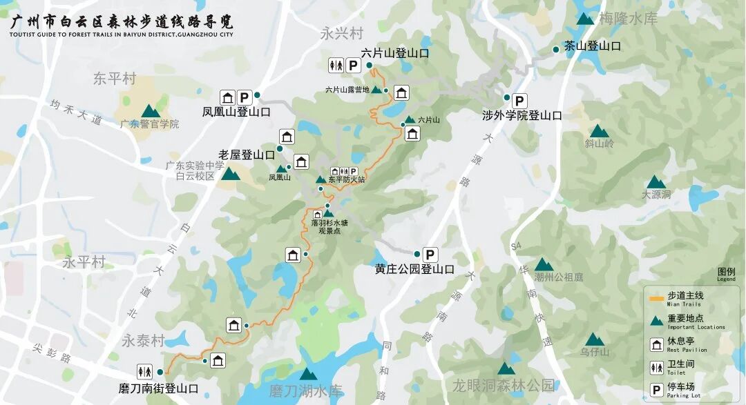
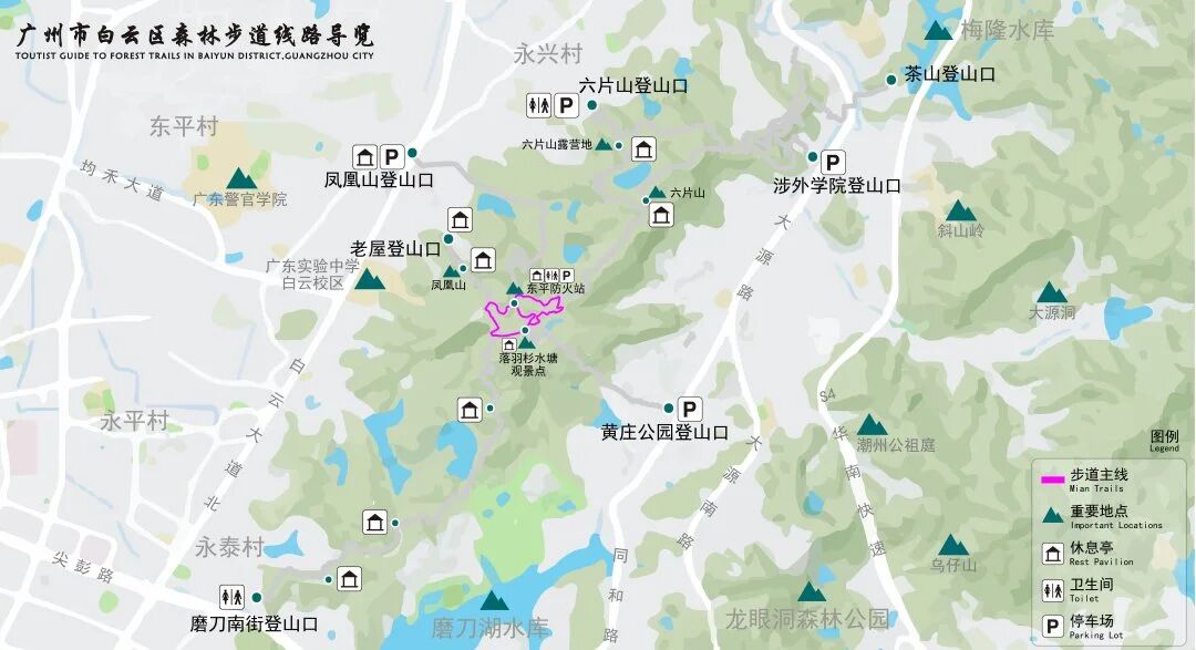
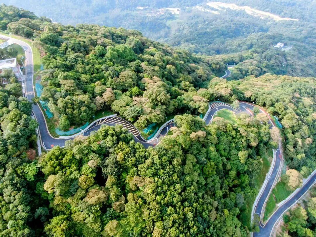
Dongping Fire Station Scenic Loop
Approximately 2.5 km in length, suitable for seniors and children. The route mainly features asphalt and stone paths, with well-designed rest areas such as the Tianchi Viewing Deck, waterside platforms, and the Dongping Fire Station. Visitors may also visit the Tianchi scenic area of Fenghuang Mountain.
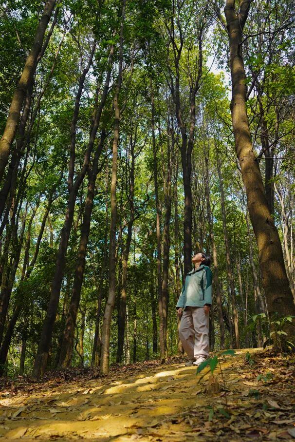
Beyond the newly popular trails, Guangzhou is home to many hidden forest trails with stunning scenery and excellent hiking experiences—waiting to be explored.
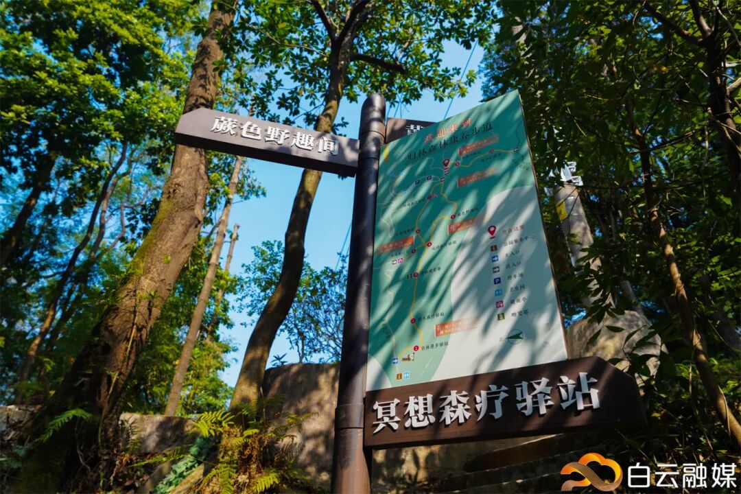
Maofeng Mountain Forest Park (广州帽峰山景区)
Guilin Forest Wellness Trail
Starting to the right of the ancient temple archway at the entrance to the Maofeng Mountain Forest Park (Scenic Area), the trail winds upward along a mountain path and connects to an existing 1.3-km Hongzhuilin Forest Trail. Multiple exits along the route provide convenient access to classic attractions such as the Maofeng Ancient Temple.
Getting There:
Metro & Bus:
Route 1: Take the "Taihe–Maofeng Mountain Tourist Line 1 (太和帽峰山旅游1号线)" from metro Taihe Station (太和站) directly to Maofeng Mountain. Service hours: 9:00–18:30. Fare: CNY 3/person
Route 2: Take Metro Line 14 to Taihe Station (Exit C), then transfer to Bus No. 758.
Route 3: Take Bus No. 504, 563, or 529 to Taihe Middle Road (太和中路) or Taihe Terminal (太和总站), then transfer to Bus No. 758.
Self-driving: Navigate to "No.168 Maofeng Road, Toubei, Baiyun District, Guangzhou (广州市白云区头陂帽峰路168号)."
Admission: Free
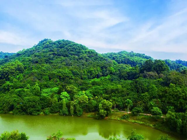
Longtou Mountain Forest Park (龙头山森林公园)
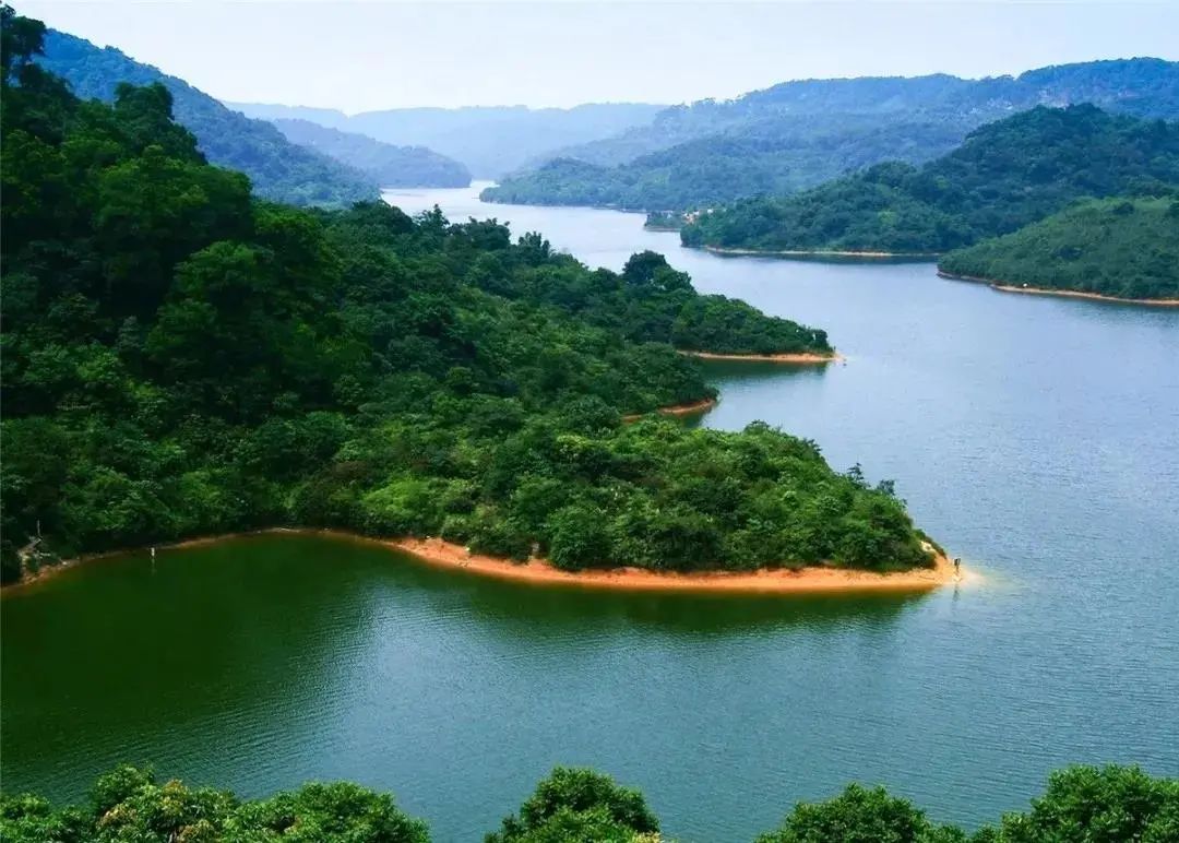
With a forest coverage rate of about 75%, the park preserves relatively intact secondary forests and subtropical evergreen broadleaf forests. It features three hiking routes—eastern, western, and central—including pebble paths, forest boardwalks, stepped trails, and gentle greenways suitable for varying levels of intensity. The terrain is undulating and densely vegetated. In addition to its natural scenery, the park is home to the Longgu Temple (龙古庙) from the Ming Dynasty (1368-1644) and granite "stone eggs" that formed around 140–150 million years ago.
Getting There:
Metro & Bus: Take Metro Line 5 to Miaotou Station (庙头站) (Exit C), then take a taxi or walk to the park.
Self-driving: Navigate to "Longtou Mountain Forest Park – South Gate 1 (龙头山森林公园-南1门)."
Admission: Free
Youma Mountain Forest Park (油麻山森林公园)
Located in Xinlong Town (新龙镇), Huangpu District, this park reaches an elevation of 433.6 meters, rendering it the highest peak in the district. The main hiking trail, about 3.6 km long, is surrounded by dense vegetation.
It offers two route options: a less-shaded asphalt main road and a steeper trail with numerous stairs.
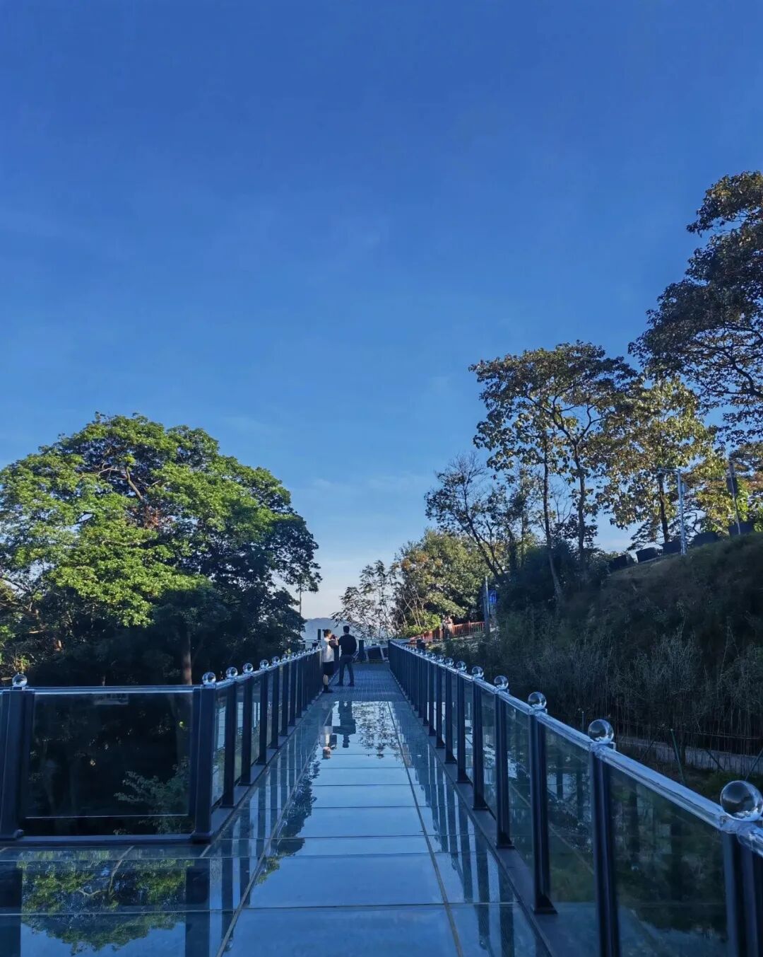
At the summit, a 360° observation deck and a glass skywalk are available for visitors.

Getting There:
Metro & Bus: Take Metro Line 21 to Jinkeng Station (金坑站) (Exit B), then take a taxi.
Self-driving: Navigate to "Youma Mountain Forest Park Parking Lot, Huangpu (黄埔油麻山森林公园停车场)."
Admission: Free
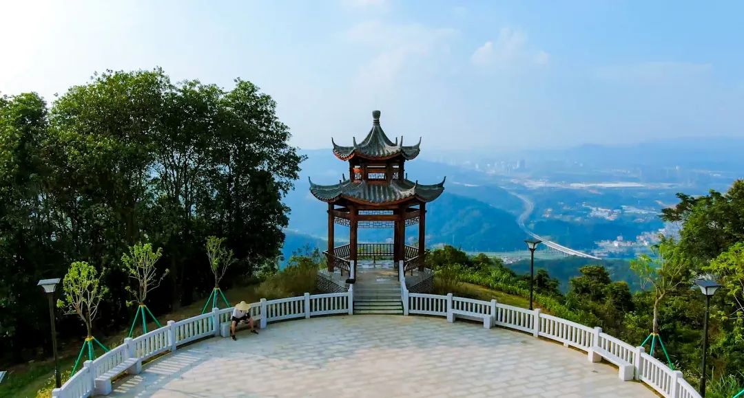
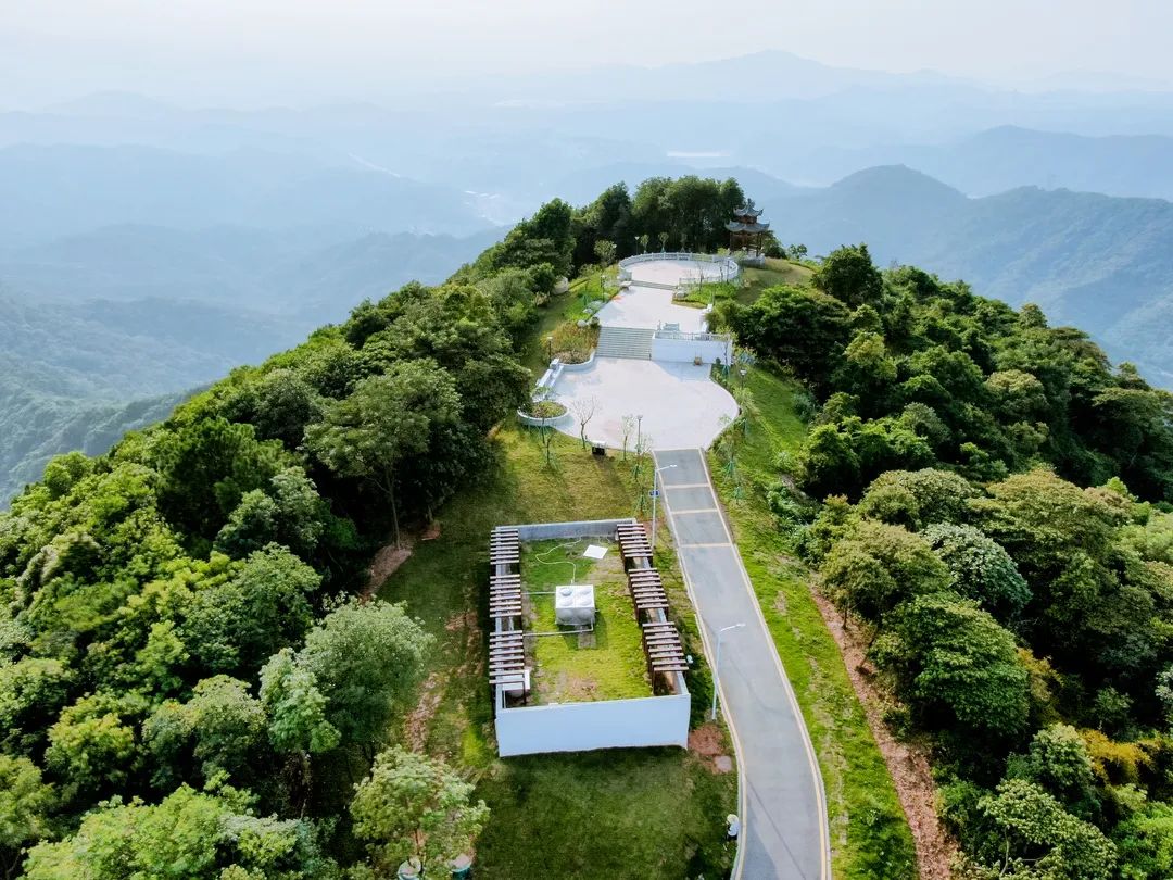
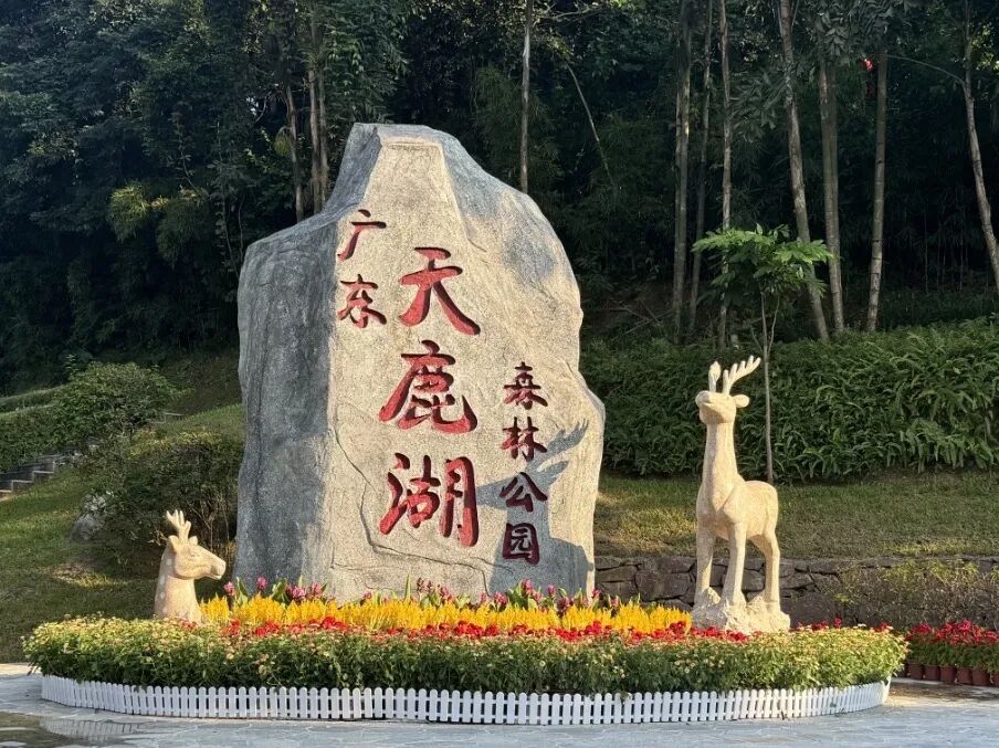
Tianlu Lake Forest Park (天鹿湖森林公园)
Located in Lianhe Subdistrict, Huangpu District, the park spans about 887 hectares and is characterized by subtropical evergreen broadleaf forests and secondary forests, all within a well-preserved ecological setting. Surrounded by mountains and dense vegetation, the park maintains a high forest coverage rate. Niutou Mountain (牛头山), with an elevation of about 362 meters, constitutes the highest point in the open area and offers a hiking loop. Along the route, visitors may encounter streams, bamboo groves, and rock formations.


Getting There:
Metro & Bus:
Take Bus No. 346, 449, 333A, or Holiday Special Line 7 to Tianlu Lake Country Park Stop (天鹿湖郊野公园站), then walk about 200 meters forward; or get off at Tianlu Lake Tunnel North Stop (天鹿湖隧道北站) and walk back about 200 meters.
Take Metro Line 6 to Huangbei Station (黄陂站) (Exit D), transfer to Bus No. 449, get off at Tianlu Lake Country Park Stop, and walk about 200 meters forward.
Self-driving: Navigate to "Guangdong Tianlu Lake Forest Park East Square Parking Lot (广东天鹿湖森林公园东广场停车场)."
Admission: CNY 5/person (discounts available for seniors, children, and students)
Fengyunling Forest Park (风云岭森林公园)
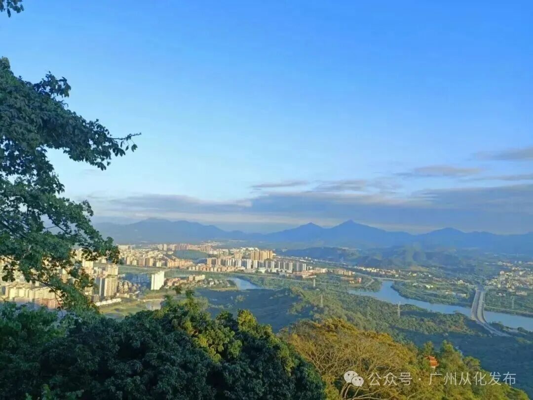
Located west of the urban area of Conghua District, this park was known in the Ming Dynasty as one of the region's "Eight Scenic Spots", namely, "Fengmen Xianji (风门仙迹)." With a forest coverage rate of over 90%, the park features both stone-step trails and winding mountain roads, with hiking times ranging from 40 minutes to 1.5 hours. At the summit, a viewing platform and TV transmission tower provide panoramic views of the Liuxi River (流溪河) and the surrounding landscape. It is ideal for leisure hiking and light mountaineering.

Getting There:
Metro & Bus: Take Metro Line 14 to Conghua Bus Terminal (从化客运站) (Exit C2), transfer to Bus Conghua 10, get off at the Fifth Affiliated Hospital of Southern Medical University Stop (南医大五附院站), and walk 50 meters to the east gate.
Self-driving: Exit the Daguang Expressway at Jiekou (大广高速街口), enter Huanshi East Road (环市东路), and follow signs for 1.7 km to reach the park.
Admission: Free

Copyright © Foreign Affairs Office of Guangzhou Municipal Government,
Hong Kong and Macao Affairs Office of Guangzhou Municipal Government All rights reserved.
PRESENTED BY GDTODAY.
粤ICP备09176539号-5
![]() 粤公网安备44010402003415号
粤公网安备44010402003415号